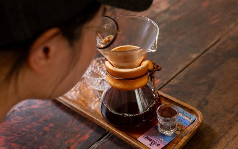
Decoding the 2017 Sheng Pu-erh: A Collector’s Guide to Authenticity
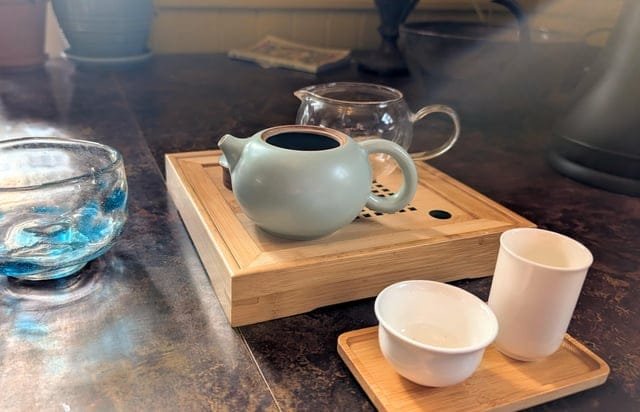
Time to spill: A 2017 Sheng Pu-erh isn’t just a tea—it’s a time capsule of craftsmanship, geography, and cultural nuance. You’ve got a tea set from Raozhou or Qinzhou, with a production date pinned to January 1, 2017, and a label that hints at Yunnan’s legendary tea-making legacy. The question isn’t just about verifying authenticity—it’s about unlocking the story behind every leaf. Lincang City, Yunnan Province, is the epicenter of Sheng Pu-erh production, where large-leaf tea plants thrive in misty highlands. The 2017 vintage is critical: it’s a bridge between the bold, earthy profiles of earlier years and the refined…