
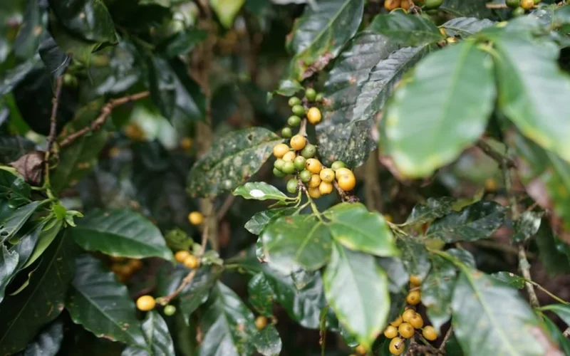

Satellite imagery aims to solve the EUDR transparency crisis
Global coffee supply chains are being transformed by high-resolution satellites capable of mapping individual farms within a 3.5-meter radius. This aerospace alliance aims to provide the first open map of global production to prevent illegal deforestation and protect smallholder farmers.